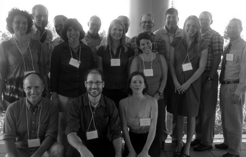
We had a fantastic workshop on Floodplain Restoration on September 14 as part of our work with UC Davis’ REACH IGERT program. Here are my notes:
Geologist and prolific floodplain-er Jeff Mount introduced the day with an overview of the scale of changes in the Central Valley and the types of challenges that had to be overcome to produce functioning floodplains. Floodplains, he emphasized, need connectivity with rivers, variability in flows and other processes, and complexity in their physical and ecological structure. Then he went through five areas of challenge:
- Scientific
- Geotechnical/Engineering
- Institutional
- Economic
- Social-Political
Mount thought that the scientific and geotechnical challenges were relatively easy to solve (though he emphasized that many ecologists might disagree). He was less optimistic about the institutional challenges (describing the state of affairs in California as an “ad-hocracy”). On the economic front, work on ecosystem services and valuation is still developing, but is the new frontier. Finally, Mount emphasized that we are in an unprecedented political environment, where willingness to pay for the types of projects, environmental or other, is at an all-time low.
No wonder they call him “Dr. Doom”. Jeff also announced his retirement from UC Davis. He’ll be missed.
Historian Phil Garone gave us a fantastic long-term view of the human relationship with California’s central valley wetlands. A major point was that, despite a 150-year trend of severe reductions in wetland area, this story isn’t entirely about declension.
As early as the 1920s, there was an understanding of how vital Central Valley wetlands were to migrating birds. Early efforts at creation of wetland preserves were championed by rice farmers (who hoped that reserves would draw birds away from their fields), and subsistence hunters (who were losing access to hunting grounds).
Garone also told a story of the creation of a reserve in the San Joaquin valley and the fight against a single-use water policy driven by the “agricultural mystique” - the notion that agriculture that is always the highest and best use of resources -that has been prevalent for much of California history.
John Cain of American Rivers spoke about work his team has been doing on modeling benefits to salmon for the proposed Lower San Joaquin River Flood Bypass. John’s core message was that we need to measure it to manage it. So his team has been finding ways to use hydraulic models to assess how flood control projects change off-channel habitat that juvenile Chinook salmon use for rearing.
John’s team looked at how several proposed plans the Lower San Joaquin would affect both flood risk and the amount of off-channel habitat flooded each year. They found that both changed dam releases and bypass construction were needed to produce meaningful change in habitat, and produced some new ways of presenting salmon habitat that were useful for engineers.
John also had some fascinating stories of the realpolitik conservation planning and projects. One of the biggest challenges is just getting agencies on enough of the same page so that these analyses can be done. It’s an enormously complex task, so getting alternative proposals properly modeled requires institutional support.
My REACH IGERT cohort presented our work looking at the consequences of the Napa River/Napa Creek Flood Control project. (I blogged about our work previously here)
Our interest has been on the distribution of benefits from the river control projects, in space, time, and among social groups. Our historical work looked at the history of river modification in California, in particular hydraulic mining, which not only filled rivers with sediment but also redistributed mining wealth from gold-panners to those who could put up capital for large sluice systems. There’s a conceptual relationship between this and flood control in Napa, which provided much of the city with flood control benefits, but also exacerbated Napa’s already drastic shortage of affordable housing. Much of the benefit ultimately went to the businesses that set up shop in formerly flood-prone downtown, while housing became harder to come by for many of the city’s residents.
We simultaneously looked at how the change in flooding in space and time affected two important species - the Sacramento splittail and Fremont cottonwood. We used outputs from a U.S. Army Corps hydraulic model to drive life-history models of these organisms. We found that, while the change in splittail habitat was slight, much of that change occurred due to bigger floods in wet years, and this had an overall positive (projected) effect on the splittail population. There were similar results with cottonwood, though both models need to be parameterized against local data in order to have more confidence in the results.
Here are our slides from the presentation (available at figshare):
Alicia Kirchner of the U.S. Army Corps of Engineers gave us a view of the nitty gritty of a multi-purpose river restoration project with a case study of the Hamilton City Flood Damage Reduction and Ecosystem Restoration project. This was a project in a small town in California that couldn’t be justified on flood control terms alone, but could be when ecosystem services were added to the project goals.
Alicia had a few interesting points. First, the Corps now has an explicit mandate from Congress to perform ecosystem restoration, but appropriation from Congress happens on a case-by-case basis, and restoration usually gets the smallest part of the pie.
Secondly, rather than doing an explicit accounting of the value of ecosystem restoration, the Corps instead has a series of qualitative tests to determine whether such a project is justified based on both local and national priorities. Then the value of restoration is assumed to be equal to the construction costs, and these numbers are then combined with the cost/benefit of flood control and navigation components to get an overall accounting of the project.
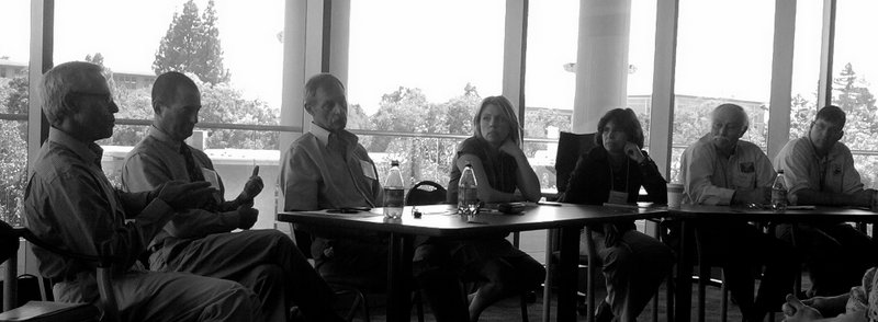
Finally, we had a fantastic panel discussion with:
- Elizabeth Andrews – ESA | PWA
- Paul Brunner – Three Rivers Levee Improvement Authority
- Richard Howitt – Department of Agricultural and Resource Economics, UC Davis
- Petrea Marchand – Yolo County
- Dave Shpak – City of West Sacramento/WSAFCA
- Ron Unger – California Department of Water Resources
- J. D. Wikert – US Fish and Wildlife Service
These folks really represented the range of actors who do the on-the-ground work of river project planning in California, and there was a lot to learn from their interactions. One of the main points of discussion was the right balance of authority between state and local authorities, represented by Ron on one hand and Paul, Petrea, and Dave on the other.
Paul Brunner had some interesting to say about ecosystem planning from an engineer’s point of view. For instance, that when ecosystem restorations are added after initial flood control designs, the project is never well optimized from a cost point of view. Also, ongoing maintenance of ecosystem restorations is often the responsibility of local authorities. This disincentivizes local agencies from doing ecosystem restorations, because they can often only get support from the state for up-front costs.